讲一讲野外Hiking离线导航

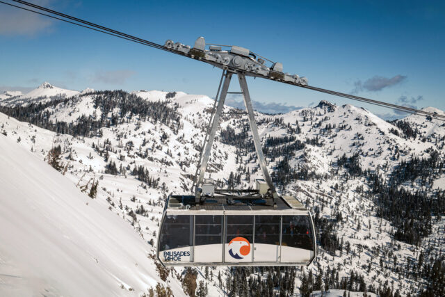
AllTrails是这几年很流行的App,它提供了大量详细的trail信息,让大家分享照片和review,对于各种dayhiking很有帮助。但是对于稍微复杂一点的行程,尤其是backpacking,AllTrails的各种限制就比较多了。举个最简单的例子,比如你想找一个平坦且植被比较稀疏的地点做campsite,那就需要同时看Topo图和卫星/航拍图,虽然这两种地图AllTrails里都有,但AllTrails不提供overlap多种地图的功能,用起来就比较麻烦了。其次,AllTrails的离线导航功能是要收费的,每年$36。但实际上,我需要的是离线而不是导航。

在准备wilderness backpacking的时候,一般我是用CalTopo画路线图,完成之后导出成GPX坐标文件,再倒入到手机上的Avenza Maps。前者免费版支持除了Live Satellites之外的各种地图图层,后者则可以自己导入各种地图文件,并把导入的GPX坐标作为独立的layer来link到各个地图上。这样做和使用AllTrails之类的App相比的好处有几个:

第一,可以做到完全免费离线导航。虽然AllTrails提供的几种地图质量都很高,但在实际使用中有用的最主要还是Topo图,以及相关的GIS数据;这些信息在绝大多数情况下都是可以免费获得的,而且也几乎不会使用turn-by-turn导航,所以付年费使用AllTrails并没有太大意义。实际上Avenza Maps自带的OpenStreetMap作为base layer,在国家公园内就已经十分完善了。

第二,其次对于比较复杂的行程,用CalTopo画图的自由度非常高。比如可以把Topo图和卫星图叠加寻找水源和适合camping的平坦的区域,等等。

第三,因为信息丰富,所以使用CalTopo画图的过程本身就是一个学习了解trail的过程,除了trail距离和坡度,也可以顺便了解地貌特征和水源位置等信息,并进行详细标记。

第四,前边说了,Avenza Maps最大的好处是把GPX作为layer和地图独立处理,二者之间可以多对多进行互相link和map,这样对于同一区域的不同trail或者同一个trail的不同地图,都不需要重新下载新地图,有很大的自由度。

今年的装备 Ultralight 轻量化努力

去年八月从Upper Yosemite Falls Trailhead出发去Eagle Peak backpacking的时候,我用的很多装备都是七八年以前购买的,其中背包Kelty Tornado 4200甚至是十几年前我在国内买的。虽然用了十几年但也没什么大问题,唯一的问题就是比较重。

最近半年计划了一条5天的线路(之后再详细讲一讲),这样就需要携带很多食品,加上去年所使用的装备,怕是40 lb都搞不定。于是大概在二三月份的时候,开始盘算着把过去几年攒下的旧装备慢慢进行轻量化升级。

Continue reading “今年的装备 Ultralight 轻量化努力”

Plan for 2024 Yosemite Backpacking

Here is the plan I prepared for the backpacking trip in Yosemite National Park, June 2024. I reserved the wilderness permit for Glacier Point – Little Yosemite Valley, and few nights of Pines campground in the valley.

What’s the plan?

Camping

Camping in the wilderness of Yosemite NP requires a permit. I already reserved a permit for 2 people from June 18 (Tue.) to June 22 (Saturday., can be changed), for Glacier Point – Little Yosemite Valley trailhead, which is also eligible for Half Dome hiking. It needs to be picked up from the office on June 17. Please see below for more details. And also, we need to follow the wilderness regulation of Yosemite NP. Few important points:

Continue reading “Plan for 2024 Yosemite Backpacking”

Why does OpenCV use BGR color format ?

Satya Mallick, CEO of OpenCV.org explained in this blogpost:

The reason the early developers at OpenCV chose BGR color format is that back then BGR color format was popular among camera manufacturers and software providers. E.g. in Windows, when specifying color value using COLORREF they use the BGR format 0x00bbggrr

BGR was a choice made for historical reasons and now we have to live with it. In other words, BGR is the horse’s ass in OpenCV.

Generate *.dcp Camera Profile for Camera Calibration on macOS

This post is a tutorial for digital camera calibration on macOS Sonoma 14 with open source tools. I followed this article on RawTherapee website, but made some modification based on changes in new operating system.

Why not just using the software from the vendor to do this? So far some of the software like the ColorChecker Camera Calibration only generate a 173B *.dcp file from the DNG raw file, which looks very fishy.

Continue reading “Generate *.dcp Camera Profile for Camera Calibration on macOS”